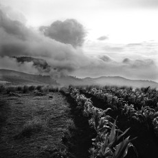
Sierra Panimaquín # 10. Totonicapán, 1996
Sierra Panimaquín # 7. Totonicapán, 1996
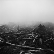
At the height of the scorched earth counterinsurgency campaign in the early 1980s, the army forced local villagers to cut down the trees along the roads and paths to reduce the risk of ambush by the guerrillas. These trees were sacred to the local Maya-Chuj people. San Mateo Ixtatán, 1997
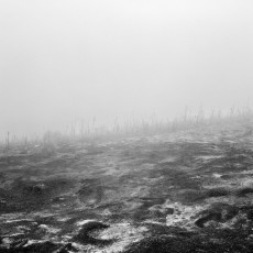
Sierra Panimaquín # 6. Totonicapán, 1996
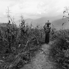
Bringing water from the stream. Communities of Population in Resistance of the Sierra, 1993
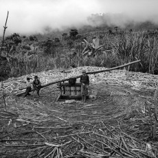
The trapiche is a hand-powered mill used to squeeze the juice out of sugarcane. Communities of Population in Resistance of the Sierra, 1993
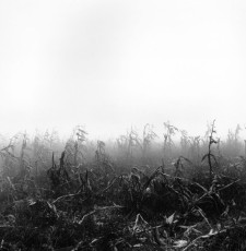
Sierra Panimaquín # 12. Sololá, 1996
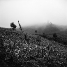
Sierra Panimaquín # 9. Totonicapán, 1996
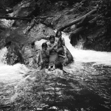
Communities of Population in Resistance of the Sierra, 1994
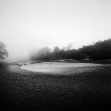
The Chixoy River, Ixcán, Quiché, 2000
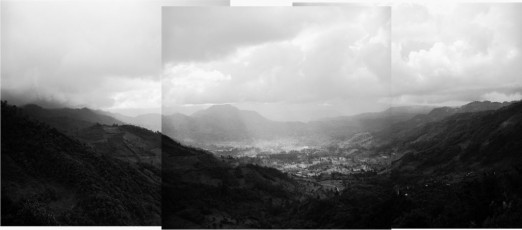
The town of Nebaj, as seen from the main road that comes over the mountain pass connecting this isolated region to the rest of Guatemala. The municipality of Santa María Nebaj consists of more than 80 rural villages and is home to predominantly Maya indigenous people of the Ixil ethno-linguistic group. Here the Guatemalan Army unleashed a horrific “scorched-earth” counterinsurgency campaign, making this area the scene of some of the worst violence to take place in the Americas in contemporary history. Quiché, 2002
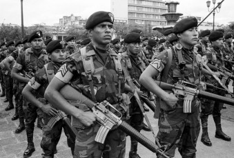
Army Day is celebrated in front of the National Palace six months before the signing of the final Peace Accord. Guatemala City, June 30, 1996
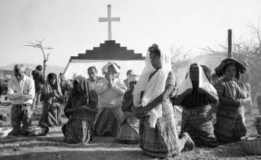
A Mayan ceremony at the dedication of a monument to the 177 women and children who were massacred in the community of Rio Negro in March 1982. Rabinal, Baja Verapaz, 1995
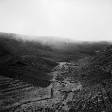
Sierra Panimaquín # 11. Sololá, 1997
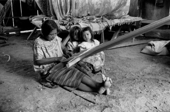
A Maya-Mam woman uses a traditional back strap loom to weave a huipil, a traditional blouse. These are former refugees who have recently returned to Guatemala from their twelve-year forced exile in camps across the border in the Mexican state of Chiapas. Ixtahuacán Chiquito, Ixcán, 1997